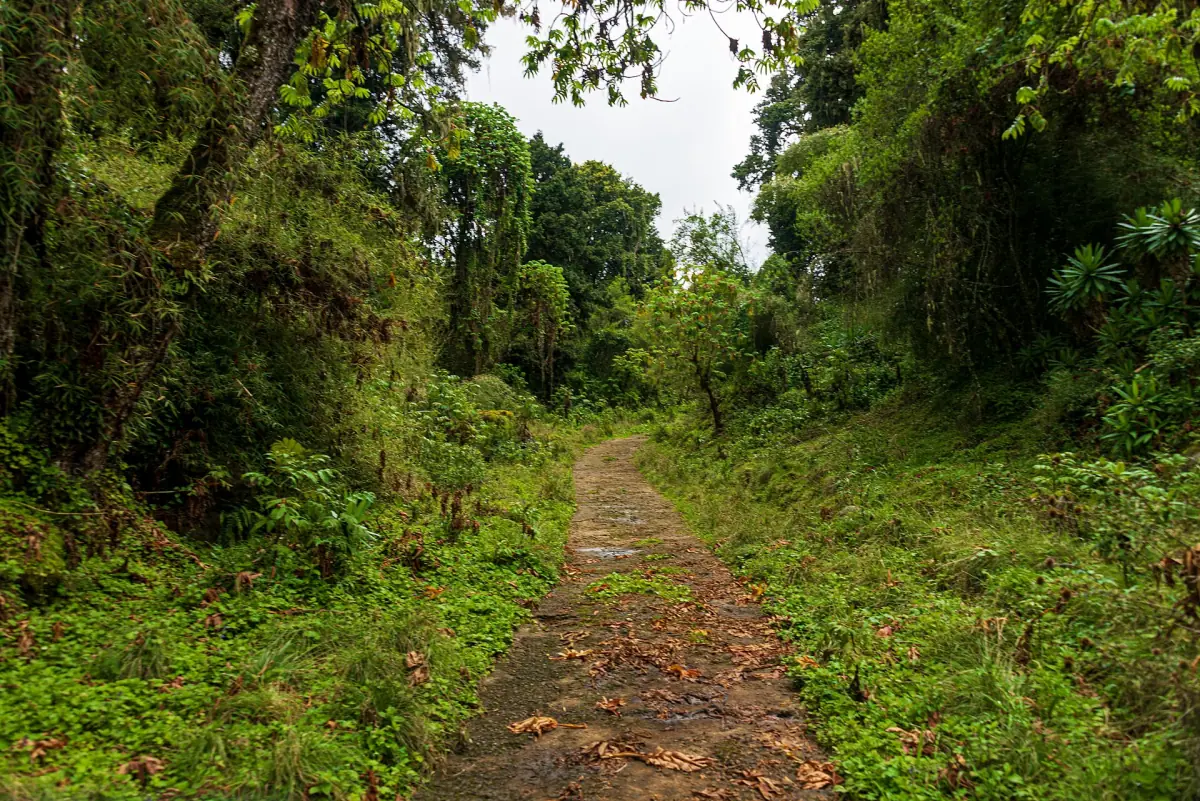
The Naro Moru route at a glance
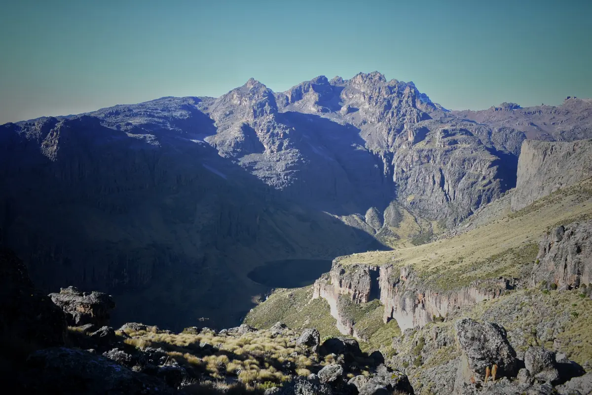
The Naro Moru route starts at Naro Moru Gate and climbs through Met Station, the Vertical Bog and the Teleki Valley to Mackinder's Camp, with the summit zone above. It is called the direct way because the approach is shorter than on the other routes. That makes it quicker, but not easier on your body.
Short programmes of 3 to 4 days exist, and the operators who run them limit them to hikers who are already acclimatised and experienced, because the height gain is fast. If you want a gentler build-up, add days or combine this route with a descent on another side. Our Mount Kenya trek guide shows how programmes of different lengths work.
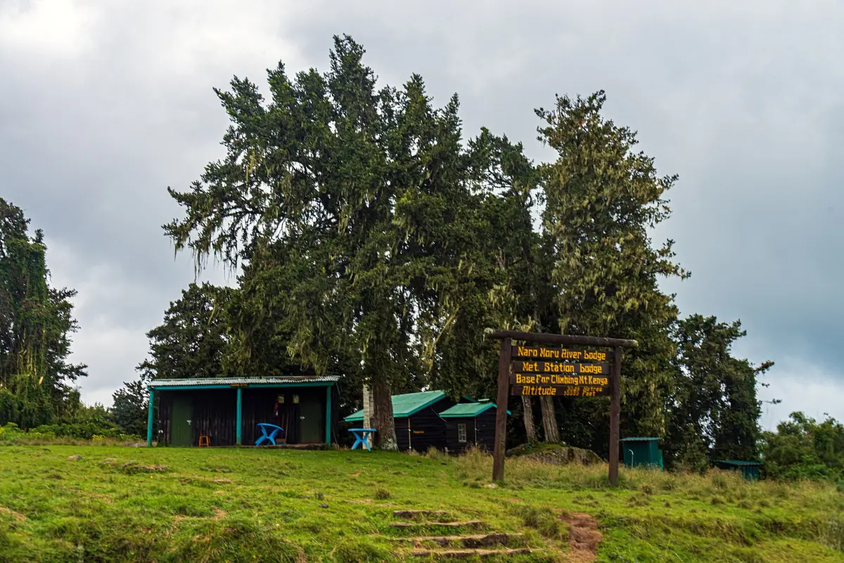
Naro Moru stages compared
Treat distances and times as a guide.
| Stage | Distance | Walking time | Height at the end |
|---|---|---|---|
| Naro Moru Gate to Met Station | About 8 km | 2 to 3 hours | About 3,050 m |
| Met Station to Mackinder's Camp | About 8 km | 5 to 7 hours | About 4,200 m |
| Mackinder's Camp to Point Lenana | – | Start before dawn | 4,985 m at the summit |
The gate lies at about 2,400 to 2,650 m, so do not plan around a single number. For most trekkers, Naro Moru works best on a programme with extra days for acclimatisation.
Our pick: a day on the Naro Moru side
This private day tour goes up the Naro Moru route to about 3,800 m, a day-length look at the high moorland without a summit.
Hand-picked tours, booked through GetYourGuide. Prices are indicative starting prices in US dollars (as of October 2026). Tap a tour for live availability and the current price in your currency.
Mount Kenya treks via Naro Moru and other routes
Guided treks and short programmes, with prices, durations and availability.
Naro Moru: the Vertical Bog and the Teleki Valley
The middle of the route is the hard part.
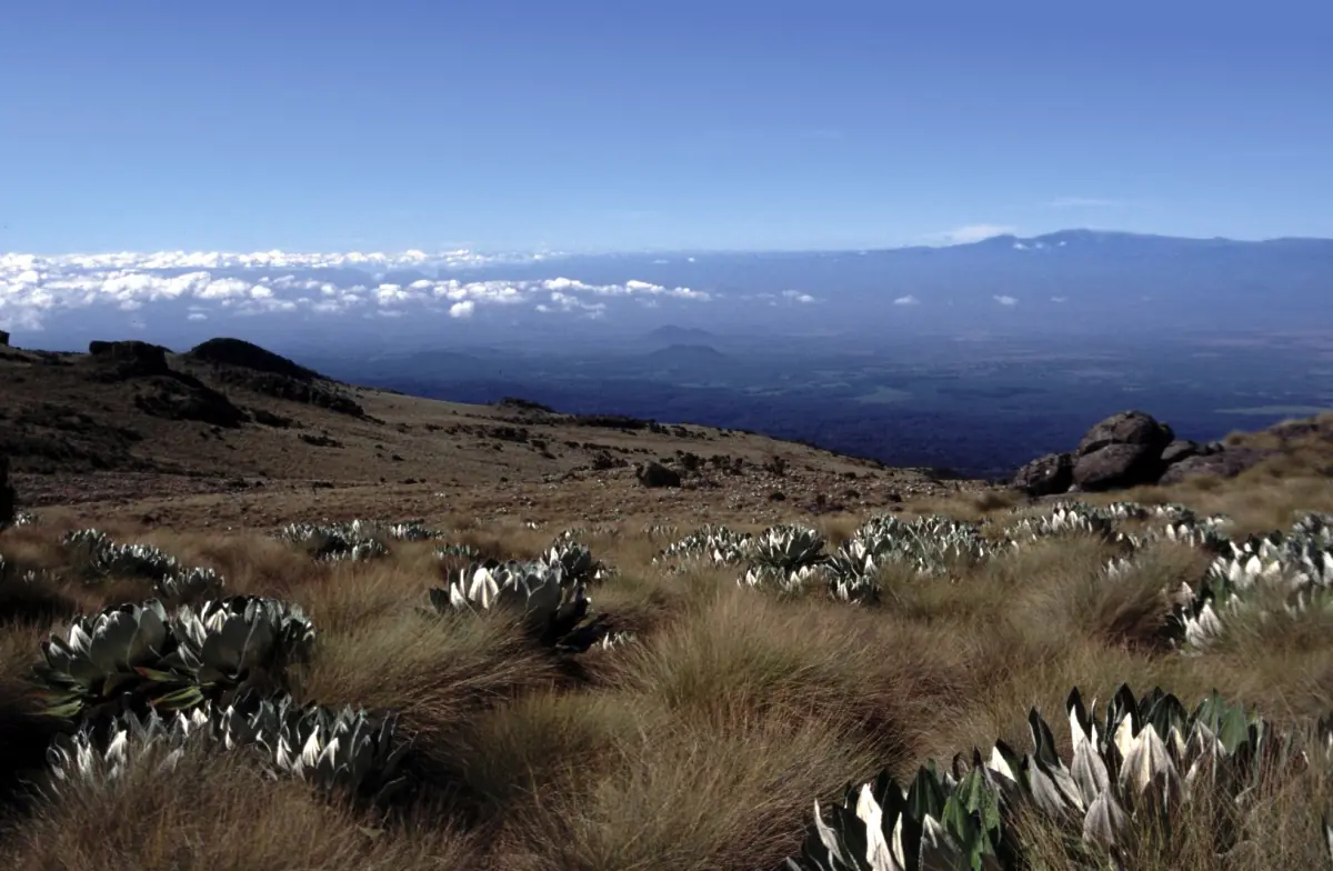
Between Met Station and Mackinder's Camp you cross the Vertical Bog. It is wet, swampy ground, and the name tells you what to expect. A shorter route does not mean an easy stretch. Go at a slow pace that suits the height.
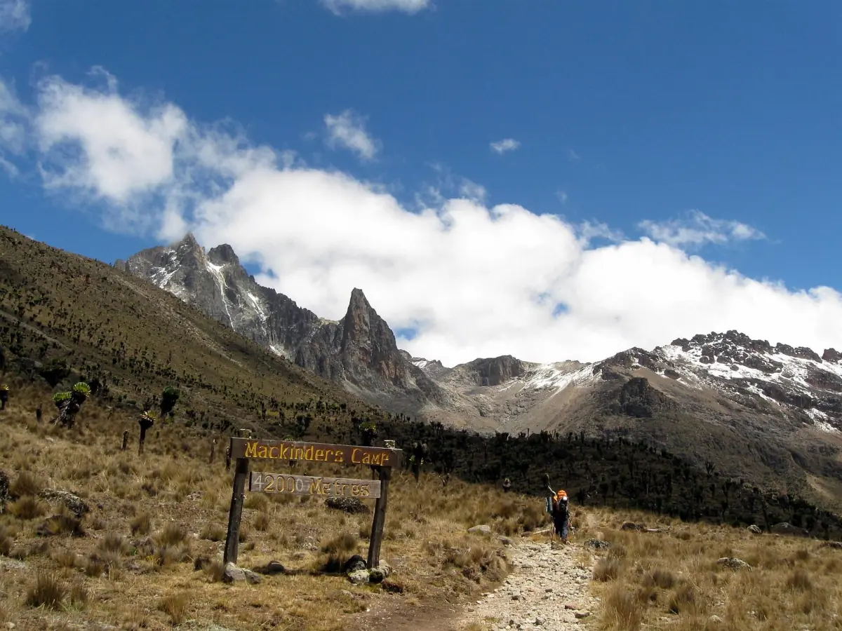
Higher up the path follows the Teleki Valley. Do not mix up the camps: the Mackinder Valley belongs to the Sirimon side, and the Teleki Valley belongs to Naro Moru. Mackinder's Camp itself is privately operated, so ask your operator what a night there includes.
Mackinder's Camp: the high base
Where the summit attempt begins.
Mackinder's Camp lies at about 4,200 m. From here the next goal is Point Lenana. Summit attempts usually start in the dark, as on the other routes. Allow time to rest before the attempt, because the body needs more time at this height than a short schedule gives it.
Medical advice for travel above 3,000 m is to raise the sleeping height by no more than 500 m per night and to rest one extra day for every 1,000 m gained. Headache with nausea, tiredness or dizziness can mean altitude sickness. If you feel this, do not climb higher to sleep. Shortness of breath at rest, or loss of coordination, is a serious emergency and calls for an immediate descent.
Naro Moru or another route?
What the short approach means in practice.
Naro Moru Gate is the closest of the three main gates to Nairobi: 188 km, against about 200 km to Sirimon and about 210 km to Chogoria. That saves driving time, but it does not change the height you must climb. The first two stages together cover about 16 km and bring you to roughly 4,200 m, so most of the gain comes in a short time.
If you want a slower build-up, compare the Sirimon route, which spreads the climb over more days, or plan to go up Naro Moru and come down on another side. A programme with extra days costs more per trek, but it gives your body time to adapt.
Planning the Naro Moru route
Fees, access and what to ask your operator.
Park fees
In 2026 the entry fee for non-residents is $70 per adult and day and $35 per child. Public camping costs $20 per adult and $15 per child per night. Citizens of Kenya and the EAC pay in shillings. The park works cashless, so pay through KWSPay or eCitizen. See the park fees page.
Getting to the gate
Naro Moru Gate is 188 km from Nairobi. The road is paved as far as Met Station, and there is somewhere to park there. Ask your operator about parking arrangements and costs. Gates are open from 6 a.m. to 6 p.m. The getting there page explains the road.
Guide and rescue
The park asks every visitor to walk with a qualified guide. KWS rescue rangers and volunteers from the Mountain Club of Kenya can help, and a helicopter may be used where a flat landing site exists. Rescue speed is not guaranteed, and your insurance must cover trekking at altitude.
More Mount Kenya routes
Compare Naro Moru with the other ways up.
Naro Moru route: frequently asked questions
Is the Naro Moru route the easiest?
It is the most direct, with a shorter approach. Direct does not mean easy, because the Vertical Bog is wet and the height gain is quick.
How long does it take to climb via Naro Moru?
Programmes run from about 3 to 4 days for acclimatised and experienced hikers up to longer schedules. The first two stages are about 8 km each, with 2 to 3 hours and 5 to 7 hours of walking.
Where is Mackinder's Camp?
It lies at about 4,200 m in the Teleki Valley area, above the Vertical Bog. It is the usual base for the Point Lenana attempt from this side.
Can I drive to Met Station?
The road to Met Station is paved and there is parking. Ask about fees and security for your vehicle before you leave it there.
Do I need a guide on the Naro Moru route?
The park asks every visitor to walk with a qualified, certified guide. A porter is a separate choice and carries at most 25 kg.