The Chogoria route at a glance
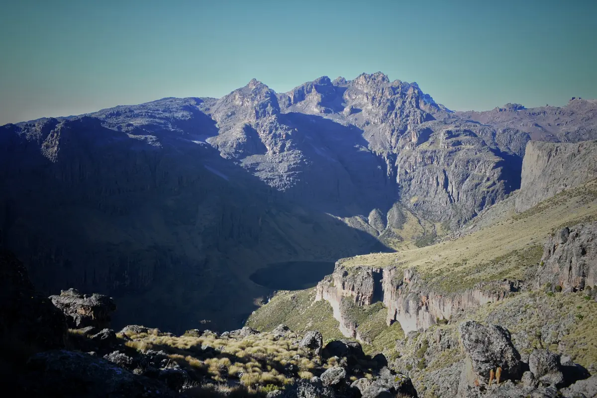
The Chogoria route begins at Chogoria Gate and climbs through the Gorges Valley to the area around Lake Michaelson and Hall Tarns. A common programme uses it for the way down after a Sirimon ascent, and it can also serve as the way up. Hall Tarns lie at about 4,230 m above Lake Michaelson.
The route is long, and the approach to the gate is part of the trip. From Chogoria town a 4x4 track of about 29 km leads to the park gate. Ask your operator how far the vehicle goes on your dates.
Our picks: Chogoria route treks
The six-day trek has the 4WD transfer to the gate and the park and camping fees in the price, the most complete way to see the whole route. The two-day Lake Ellis trip is the short option for waterfalls and a lake without a summit.
Hand-picked tours, booked through GetYourGuide. Prices are indicative starting prices in US dollars (as of October 2026). Tap a tour for live availability and the current price in your currency.
Six-day Chogoria to Sirimon trek
- Park entry and camping fees
- 4WD from Chogoria to the gate
- Guide, cook and porters
Camping across the mountain: up the Chogoria side, over Point Lenana and down via Sirimon. The park fees are in the price.
Check availability →Chogoria trek to Point Lenana, 4 or 5 days
- Guide, cook and porters
- Camping fees and equipment
- Three meals a day
A camping trek on the Chogoria side with a four-day or a five-day option. The park fee is extra and is charged per person and day, so budget for it.
Check availability →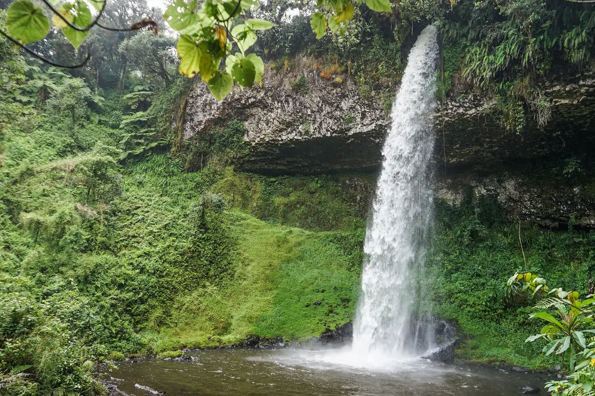
Two-day Chogoria camping trip to Lake Ellis
- Park entry included
- Tents and sleeping mats
- Cook and support crew
Nithi Falls and Lake Ellis in two days, with a night in camp. This trip does not go to a summit.
Check availability →Chogoria treks and Mount Kenya tours
Guided treks that use the Chogoria route, with prices, durations and availability.
Chogoria stages compared
Operators split the days differently, so read the figures as a guide.
| Stage | Distance | Walking time | Notes |
|---|---|---|---|
| Chogoria Gate to Hall Tarns | – | 6 to 9 hours | Hall Tarns at about 4,230 m |
| Bandas to Mintos | About 16 km | 6 to 8 hours | Mintos is a porters' hut |
| Mintos to Austrian Hut | About 8 km | 4 to 5 hours | Austrian Hut lies in the upper summit area |
| Bandas to Lake Ellis (Chogoria to Sirimon) | About 9 km | About 4 hours | Camp at about 3,450 m |
A typical 5 to 6 day Chogoria trek covers about 68 km, though itineraries differ. For most trekkers, Chogoria works well as the descent, after a night or two at altitude on the Sirimon side.
Chogoria: the approach and the first days
The track to the gate and the first camps.
Chogoria Gate is about 210 km from Nairobi. The last part is the 29 km 4x4 track from Chogoria town. How far a vehicle can drive depends on the road at the time, so confirm it with your driver before you commit to a start time.
Higher up, Mintos is a porters' hut. Do not count on a tourist bed there, and plan to camp.
Lake Michaelson and Hall Tarns
The two names that define the route.
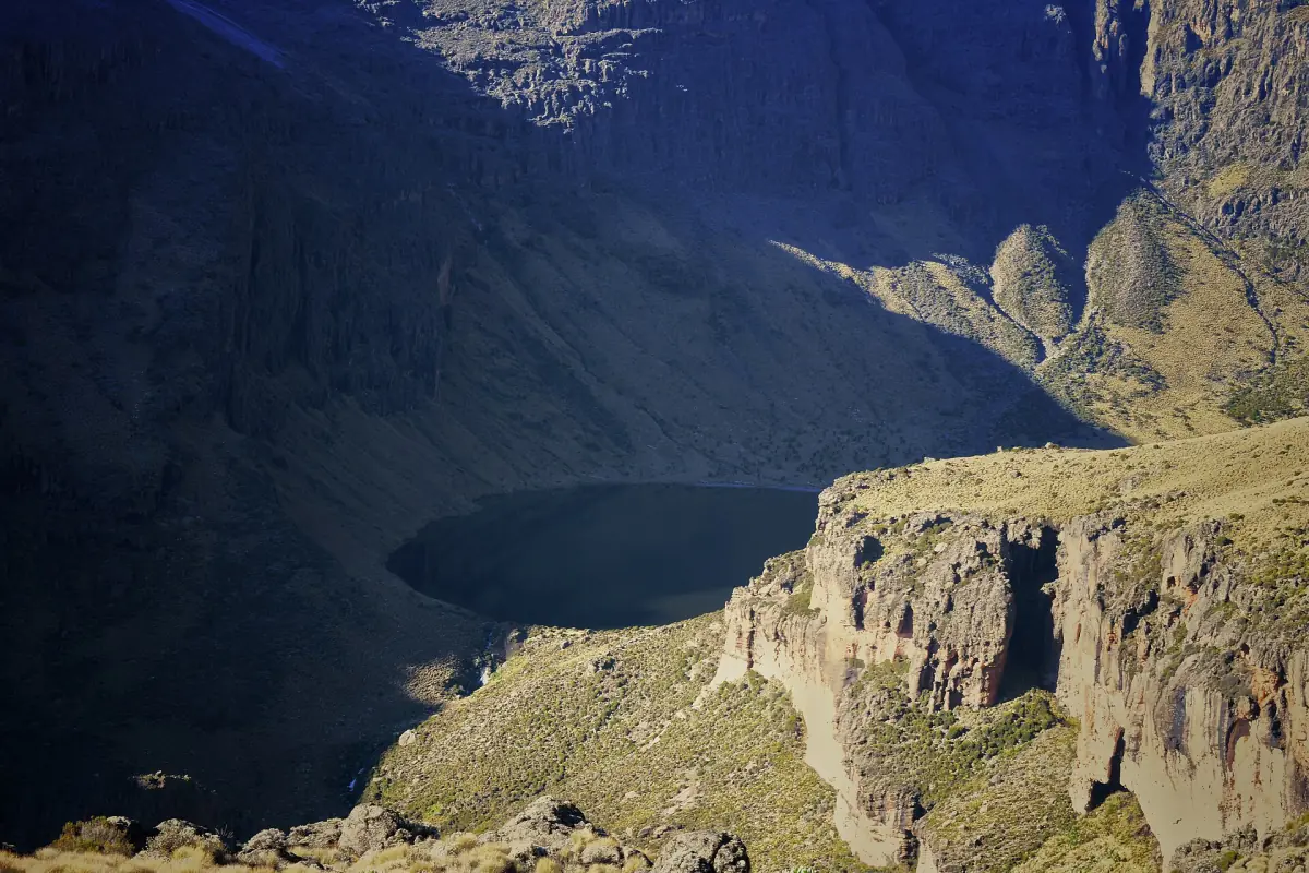
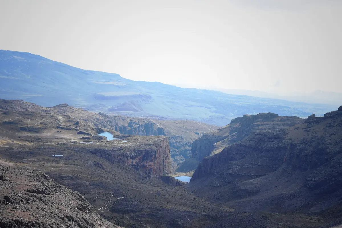
Lake Michaelson lies below Hall Tarns. It is not a visit at the lake shore on every variant of the route, so ask whether your itinerary goes down to the water or only past the viewpoint. Hall Tarns, at about 4,230 m, sit above the lake and mark the upper part of the route.
At this height the same advice applies as on other routes. Above 3,000 m, raise your sleeping height by no more than 500 m per night, and add a rest day for each 1,000 m. If you get a headache with nausea, tiredness or dizziness after gaining height, do not sleep higher. If it gets worse at rest, go down.
Crossing the mountain: Sirimon up, Chogoria down
The most common way to use this route.
A crossing from Sirimon to Chogoria takes 5 to 6 days. Because you start and finish at different gates, the pickup at the end is a separate transfer, and your vehicle has to meet you at the Chogoria side. Ask your operator how the transfers are arranged and how long the last drive takes.
Prices run around $900 to $1,050 for a five-day Sirimon to Chogoria trek (2026 examples), depending on group size. A typical programme includes an extra night at Shipton's for acclimatisation. Transfers, staff, food, tips and personal equipment can be listed separately, so compare what each offer includes.
Planning the Chogoria route
Fees, guides and the way to the gate.
Park fees
In 2026 the entry fee for non-residents is $70 per adult and day and $35 per child. Public camping is $20 per adult and $15 per child per night. Citizens of Kenya and the EAC pay in shillings, from KES 800 per adult and day. Details are on the park fees page.
Guide and porters
The park asks every visitor to walk with a qualified guide. If you hire porters, a load limit of 25 kg applies. Camping needs registration on entry and exit, and single-use plastic water bottles are not allowed.
Reaching the gate
Chogoria Gate opens from 6 a.m. to 6 p.m. See getting to Mount Kenya for the road from Nairobi. Matatus run to towns and junctions, and the last leg is arranged separately.
More Mount Kenya routes
See how Chogoria compares.
Sirimon route
Old Moses, Shipton's and the Mackinder Valley.
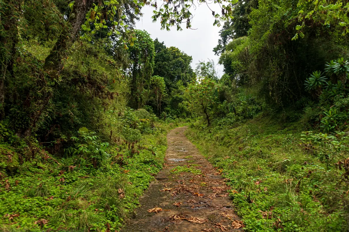
Naro Moru route
The direct way up through the Teleki Valley.
Point Lenana
The trekking summit and what summit day involves.
If you plan the rest of the trip around Nanyuki, the wildlife conservancy nearby has its own guide: Ol Pejeta Conservancy.
Chogoria route: frequently asked questions
How far is the Chogoria route?
About 68 km on a typical 5 to 6 day itinerary. Other itineraries cut the days differently, so there is no single length for the route.
Can I drive to Chogoria Gate?
A 4x4 is needed for the roughly 29 km track from Chogoria town. How far you can drive depends on the road at the time, so ask your operator.
Is Lake Michaelson part of every Chogoria trek?
Not at the shoreline. Some itineraries only pass above the lake, while others go down to it. Check the plan before you book.
Is Chogoria better for the way up or down?
Both are possible. A common plan goes up Sirimon and down Chogoria, which takes 5 to 6 days and gives you a night or two at height before the summit.
What does the park charge on the Chogoria route?
In 2026 a non-resident pays $70 per adult and day and $35 per child, and public camping is $20 per adult per night. Kenyan and EAC citizens pay from KES 800 per adult and day.