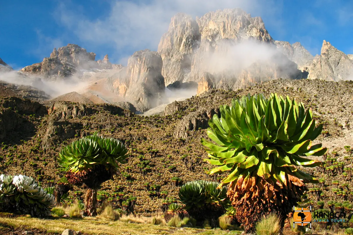
Mount Kenya routes: the main approaches
Three gates give access to the mountain: Sirimon Gate, Chogoria Gate and Naro Moru Gate. These are the main entrances. Sirimon leads up the Mackinder Valley, and Naro Moru leads up the Teleki Valley. Do not mix up the camp names, because the two valleys have different camps.
The stage figures below are typical programme figures, not surveyed route lengths. Start point, vehicle drop-off, summit variant and descent differ, so adding them up gives no reliable total. Use them to compare stages, not to plan to the minute. For multi-day offers on all three, see the Mount Kenya treks page.
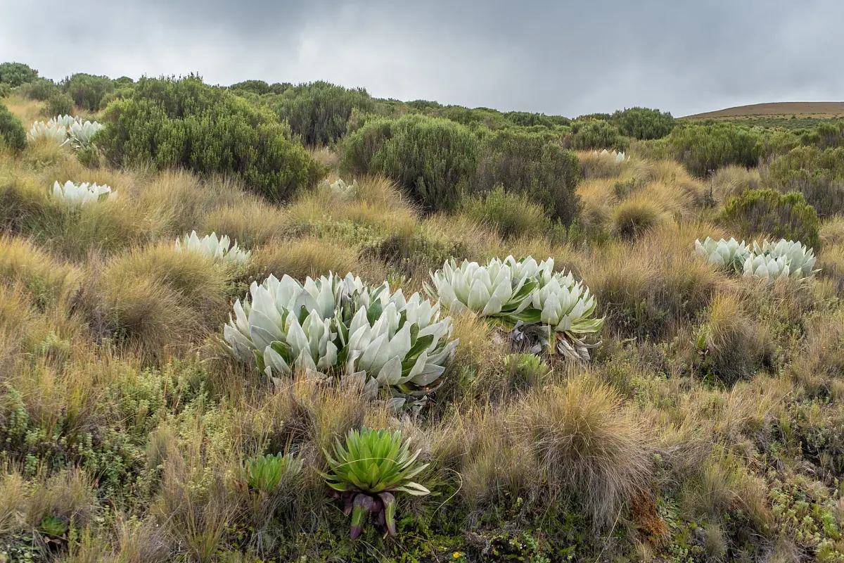
Sirimon, Chogoria and Naro Moru compared
Typical stage figures, with heights rounded.
| Route | Camps and stages | Character | Suits |
|---|---|---|---|
| Sirimon | Gate to Old Moses about 9 km (3 to 4 hours); Old Moses to Shipton's about 14 km (6 to 7 hours) | Mackinder Valley; Old Moses at about 3,350 m, Shipton's at about 4,250 m | Crossings that start near Nanyuki, with an acclimatisation night at Shipton's |
| Chogoria | Hall Tarns, at 4,230 m, are 6 to 9 hours from the gate | Gorges Valley, Lake Michaelson, Hall Tarns | The way down on a crossing, with gorge and lake scenery |
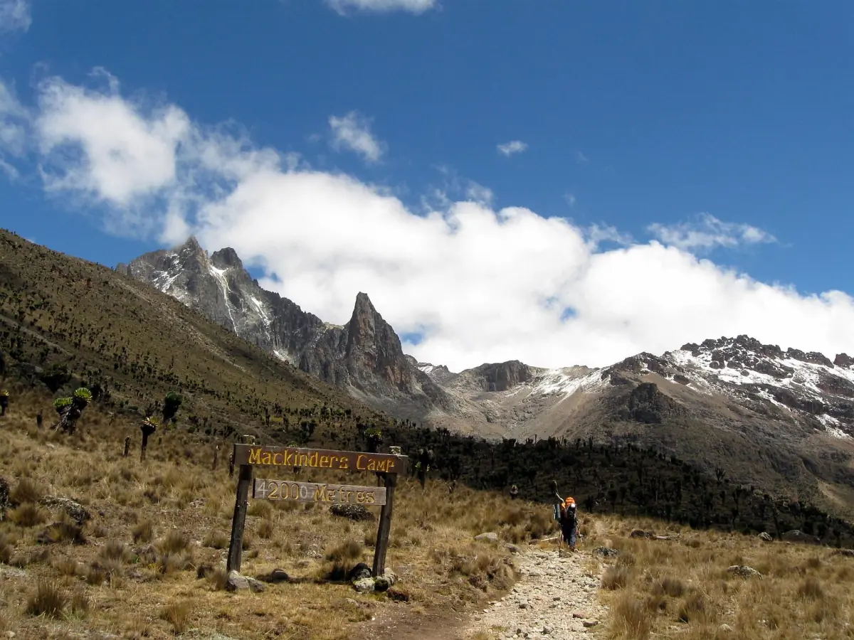
| Naro Moru | Gate to Met Station about 8 km (2 to 3 hours); Met Station to Mackinder's about 8 km (5 to 7 hours) | Teleki Valley and the Vertical Bog; Met Station at about 3,050 m, Mackinder's at about 4,200 m | Shorter programs for walkers who are already acclimatised |
For most trekkers, a crossing, up Sirimon and down Chogoria, is the usual pick. It takes 5 to 6 days and lets you see both sides of the mountain. Read the full guides: Sirimon, Chogoria and Naro Moru.
Our pick: crossing the mountain
This four-day trek goes up the Sirimon side and down to Chogoria, so you walk two of the three main routes in one trip.
Hand-picked tours, booked through GetYourGuide. Prices are indicative starting prices in US dollars (as of October 2026). Tap a tour for live availability and the current price in your currency.
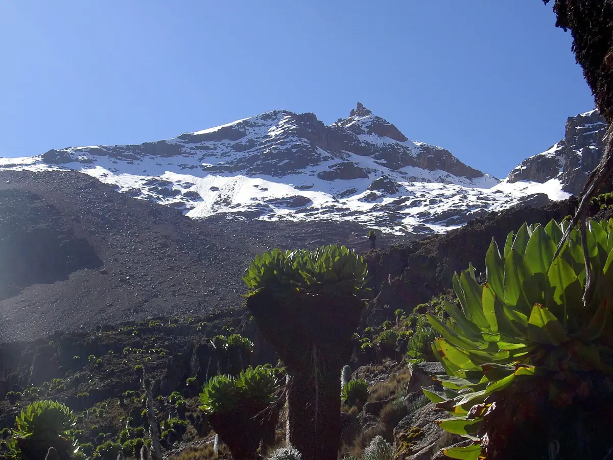
Mount Kenya route treks
Guided treks on the Sirimon, Chogoria and Naro Moru routes, with current prices and availability.
How the routes differ on the ground
What each approach feels like.
Sirimon, near Nanyuki
The route starts near Nanyuki and runs Sirimon Gate, Old Moses, then Shipton's. Summit day starts from Shipton's.
Chogoria, with the gorge and lake
The access road from Chogoria to the park gate is 29 km and suited to four-wheel drive. Ask about the road condition before you go. Lake Michaelson is not on every variant of the route as a visit to the shore.
Naro Moru, the direct way
A surfaced road reaches Met Station, and there is parking. Direct does not mean easy: the Vertical Bog is wet, boggy ground, and a quick climb raises the risk of altitude sickness.
When each side of the mountain suits
The season matters as much as the route.
Kenya's long rains fall from March to May and the short rains from October to December. Walkers usually choose January, February, early March and August. For rock climbing, the south side suits late December to mid-March, and the north side late June to mid-October. These are seasonal guides and no promise of dry weather. The weather page has more.
Plan a spare day whichever route you take. A day for rest or weather is cheaper than a failed summit attempt, and it also helps with the height.
Burguret and Kamweti
Two further approaches, not main routes.
Burguret and Kamweti are unofficial routes, so tell the park administration beforehand. Burguret has bushy, partly muddy game trails and no huts. Seven-day programmes cross from Burguret to Chogoria. Kamweti needs advance notice, and path conditions vary from day to day. Do not treat either as equal to a main gate.
For a first visit, stay with the main routes. The trek guide shows how many days to plan and what the climb costs, and the Point Lenana page explains summit day.
Next steps
Pick the pages that fit your plan.
Sirimon route
Sirimon Gate, Old Moses and Shipton's Camp.
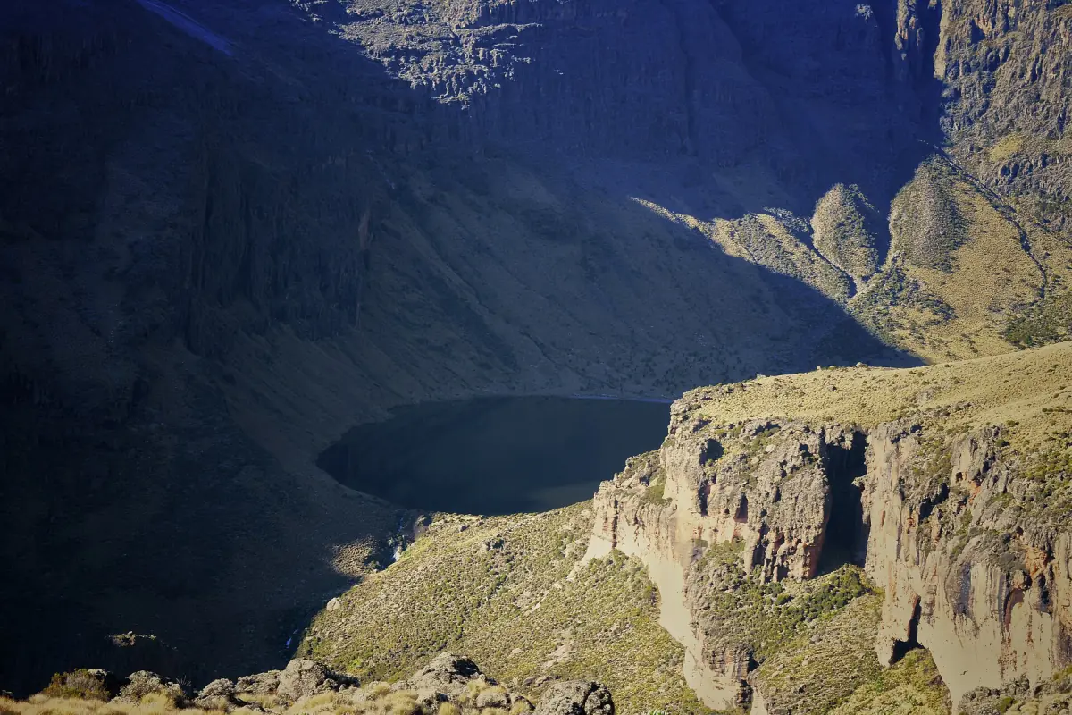
Chogoria route
Gorges Valley, Lake Michaelson and Hall Tarns.
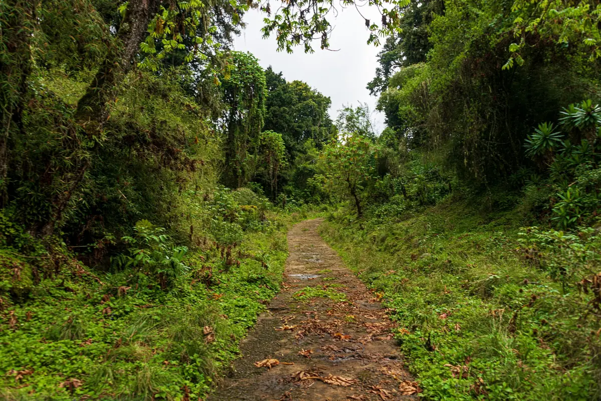
Naro Moru route
Met Station and the Teleki Valley.
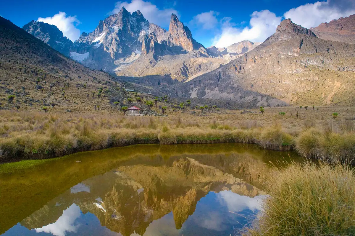
Mount Kenya trek
Days, costs and altitude.
If you are also weighing another mountain, see Kilimanjaro routes for that climb.
Mount Kenya routes: frequently asked questions
Which Mount Kenya route should I pick?
For most trekkers, a crossing from Sirimon to Chogoria in 5 to 6 days is the usual choice. Naro Moru is the shortest way in, but the height gain is fast.
Which route is the shortest?
Naro Moru is the direct approach, and programs of 3 to 4 days exist. Operators limit those to walkers who are already acclimatised.
Where do the routes start?
At Sirimon Gate, Chogoria Gate and Naro Moru Gate, around 200, 210 and 188 km from Nairobi. Sirimon is near Nanyuki.
How long is each route in kilometres?
No single comparable length exists, because start points and variants differ. Compare stage figures such as 9 km to Old Moses or 8 km to Met Station.
Can I go up one route and down another?
Yes. A Sirimon to Chogoria crossing is a common program. The pickup may be at a different gate from the start, so check the transfers.