Mount Kenya glaciers in short
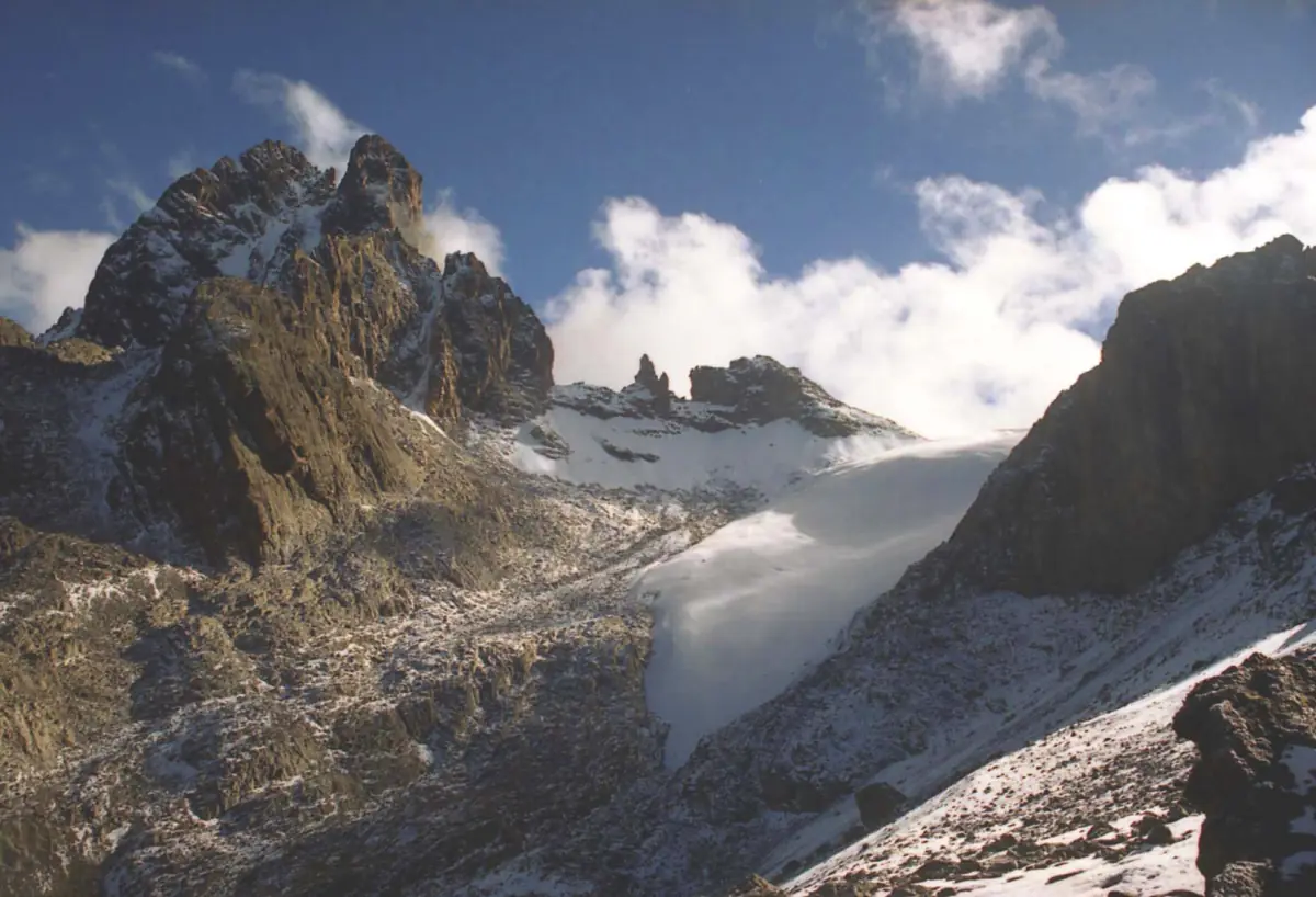
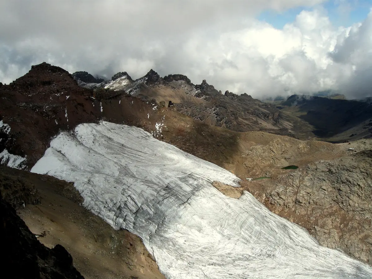
The glaciers of Mount Kenya cling to the highest part of the massif, around Batian and Nelion. They are small today. Satellite images from 2021 and 2022 give a total glacier area of 0.069 km², or 6.9 ha, for the whole mountain, with an uncertainty of within 12.5 %.
That number describes the ice at that time, not a count of glaciers and not a figure for 2026. Whenever you read a glacier area, check the year it was measured. If you plan to see the high mountain, our page on Mount Kenya treks explains what a multi-day program involves.
Lewis Glacier
The best-studied ice body on the mountain.
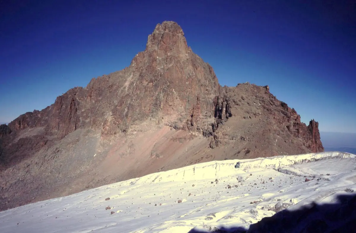
The Lewis Glacier lies below the reddish rock of Nelion and is a much-studied glacier. Measurements of its weather and energy balance show that solar radiation, precipitation and air temperature all affect how fast it melts. The melt is not simply a story of warmer air.
The same measurements show a pronounced daily cycle of cloud and radiation at the glacier. For visitors this means conditions on the high mountain can change within a day. Our weather page explains how that shapes the best time to climb.
What is measured
Weather at the ice, the radiation balance and the energy that goes into melting. Measurement campaigns cover limited periods, so their numbers are snapshots.
How long the ice will last
Nobody can give a reliable year for when the ice will be gone. Treat any single date you see online as an estimate.
Our pick: the summit zone in two days
This tour goes to Point Lenana, in the high zone where the last Mount Kenya glaciers lie. Views depend on cloud, and no tour promises a sighting of the ice.
Hand-picked tours, booked through GetYourGuide. Prices are indicative starting prices in US dollars (as of October 2026). Tap a tour for live availability and the current price in your currency.
Mount Kenya treks and day trips
Guided treks and day trips in the high mountain, with live prices and availability.
What the retreat means for climbers
Less ice changes the ground as well as the view.
Looser terrain
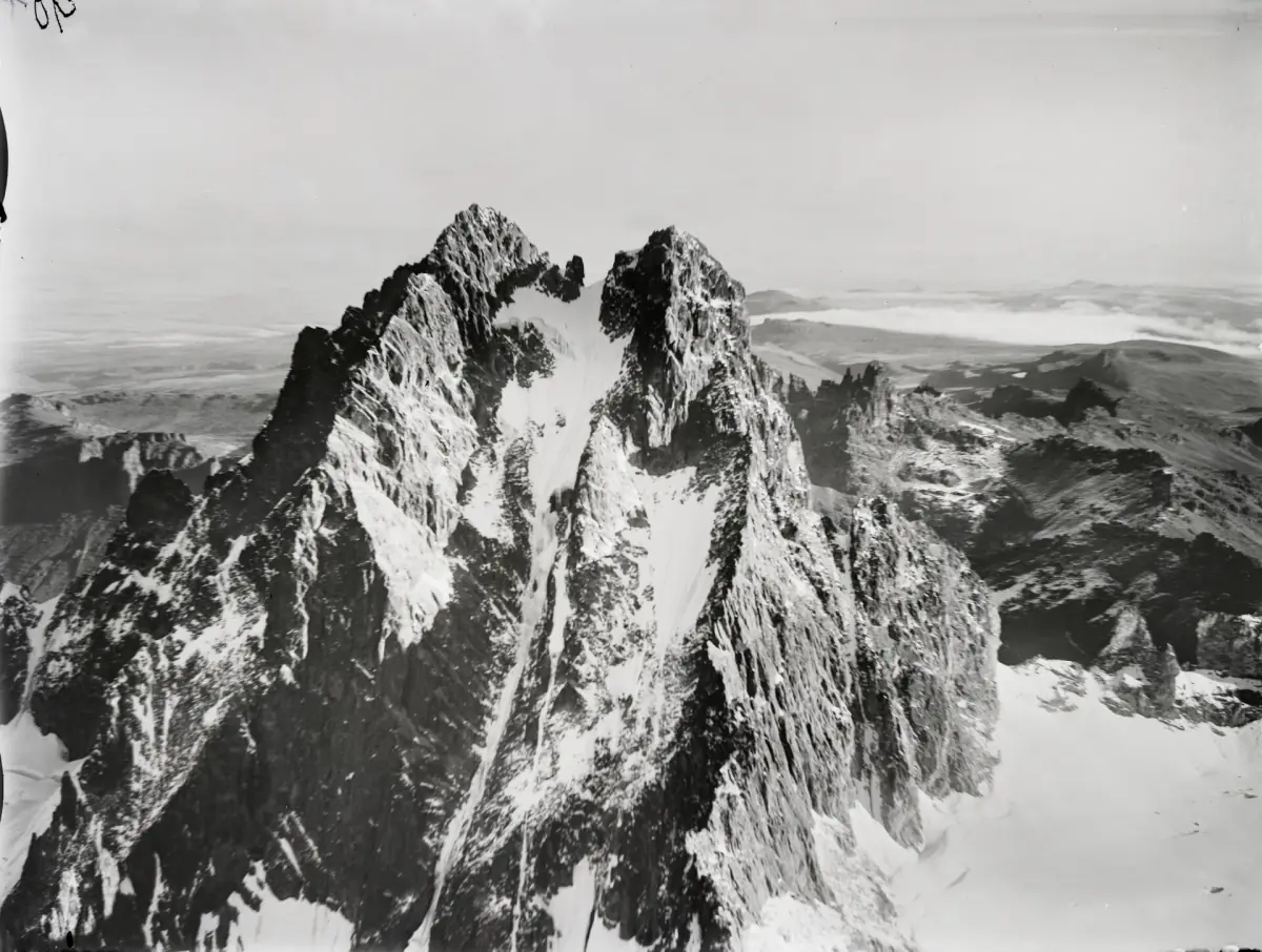
As the ice retreats, the ground on the high peaks becomes looser. Old ice lines are not regular routes today, and they should not be treated as routes in a guidebook from earlier decades.
Batian and Nelion →Trekkers on Point Lenana
The trekking summit does not depend on glacier travel. Summit day involves frozen scree and a short scramble, not ice axes and ropes. Ask your guide what the conditions are before you go.
Point Lenana →What you will see
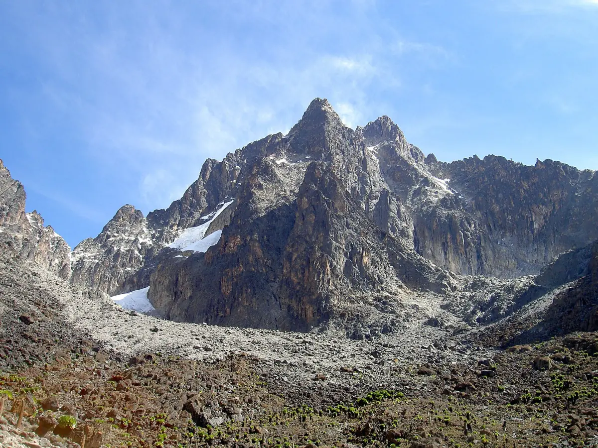
Expect small patches of ice and dark rock rather than large glaciers. Batian and Nelion are impressive as rock peaks in their own right.
Routes to the high mountain →More on the high mountain
Pages that cover the peaks, their heights and the story of the massif.
Reading the glacier numbers
What the figures say, and what they leave open.
| Figure | Value | What it means |
|---|---|---|
| Total glacier area | 0.069 km² (6.9 ha) | The ice of the whole mountain on satellite images from 2021 and 2022 |
| Uncertainty | Within 12.5 % | The area is an estimate, not a survey to the square metre |
| Lewis Glacier | – | Radiation, precipitation and temperature all drive its melt |
| Year the ice disappears | – | No reliable date exists |
A figure for the glacier area is only useful with its year. A number from a different decade describes a different mountain, so compare like with like.
Seeing the high mountain on a trek
A summit day is the closest most visitors get to the peaks and what is left of the ice.
On the Sirimon route, a typical summit day leaves Shipton's Camp around 03:00 to reach Point Lenana at sunrise, about 06:30, after a net climb of about 750 m. The ground is frozen scree with a scramble at the end.
The way you see Batian and Nelion from Point Lenana depends on the weather that day. A clear view is a bonus, not a given. Use the weather page to choose your month and ask your guide about the conditions on the day.
Mount Kenya glaciers: frequently asked questions
Are there still glaciers on Mount Kenya?
Yes, small ones. Satellite images from 2021 and 2022 show a total glacier area of 0.069 km² (6.9 ha) for the whole mountain, with an uncertainty of within 12.5 %.
What is the Lewis Glacier?
The Lewis Glacier is a much-studied ice body on Mount Kenya, below the rock of Nelion. Radiation, precipitation and temperature all drive its melt.
When will the glaciers disappear?
No specific year can be given. Any date you read should be treated as an estimate, and any glacier area should come with the year it was measured.
Do I need ice gear for Point Lenana?
Trekking to Point Lenana does not mean crossing glaciers. Summit day can include frozen scree and a short scramble, so pack warm layers and ask your guide about the conditions.
Does the glacier retreat make climbing harder?
On Batian and Nelion the ground has become looser as the ice retreated, and historic ice lines are not regular routes today. These peaks are technical climbs for experienced climbers only.
When does summit day start on the Sirimon route?
A typical summit day leaves Shipton's Camp around 03:00 and reaches Point Lenana at sunrise, about 06:30, after a net climb of about 750 m. The ground is frozen scree with a scramble at the end.